Shiretoko Peninsula
Natural Beauty at the End of the Earth
Formed by Volcanic activity, the Shiretoko area has a richly diverse landscape that comprises towering volcanoes, dramatic cliffs, and waterfalls that trickle down to the icy coast.
Discover Shiretoko Peninsula
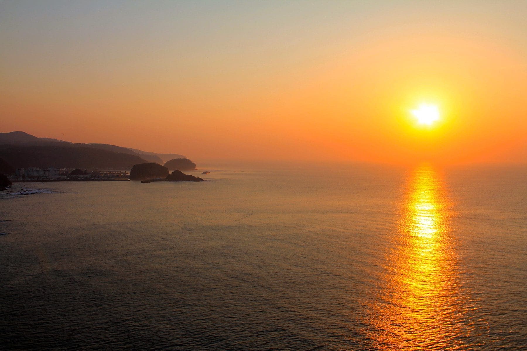
Positioned at the northeastern tip of Hokkaido, the Shiretoko peninsula was named after the indigenous Ainu people’s term for it, ‘sir etok’, or the end of the earth.
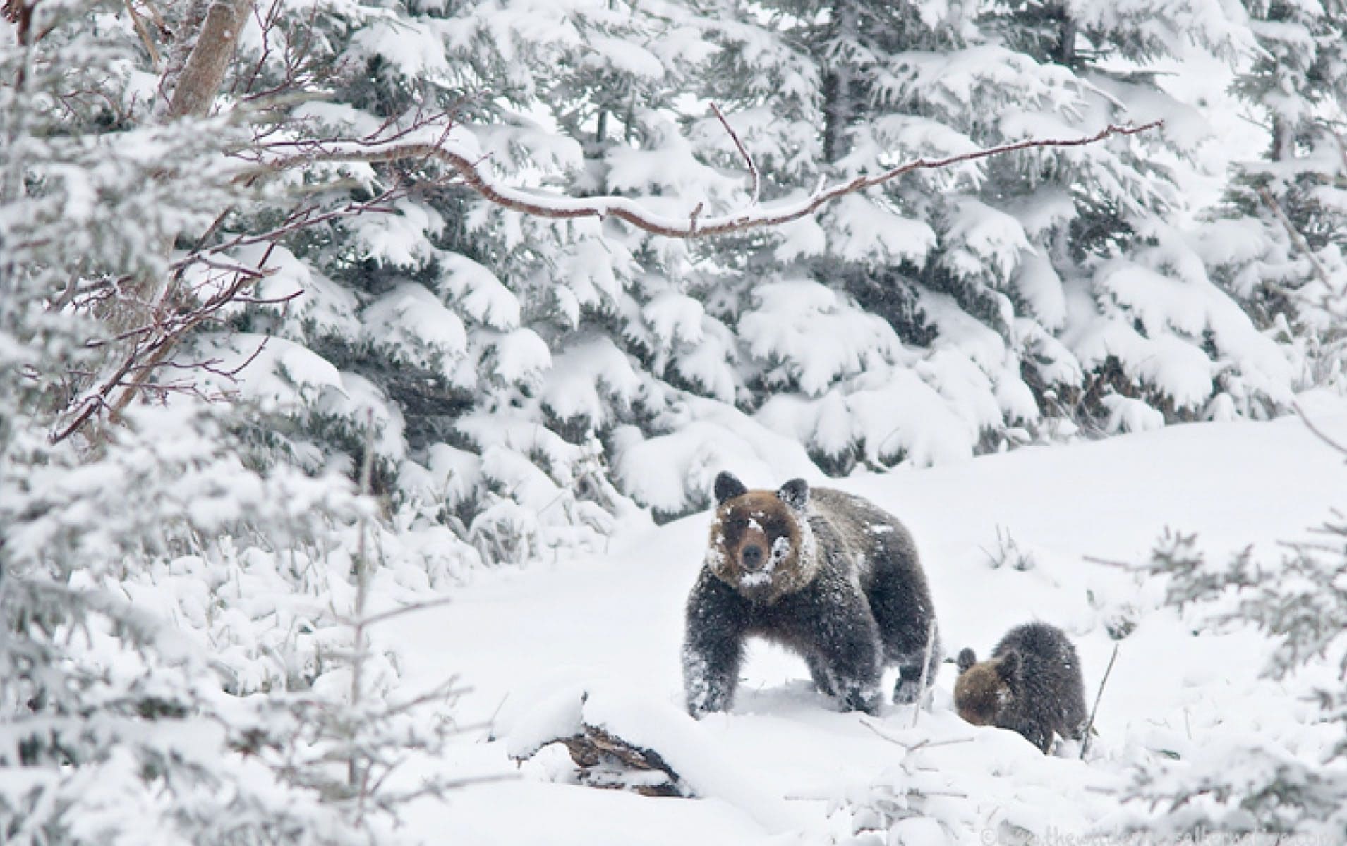
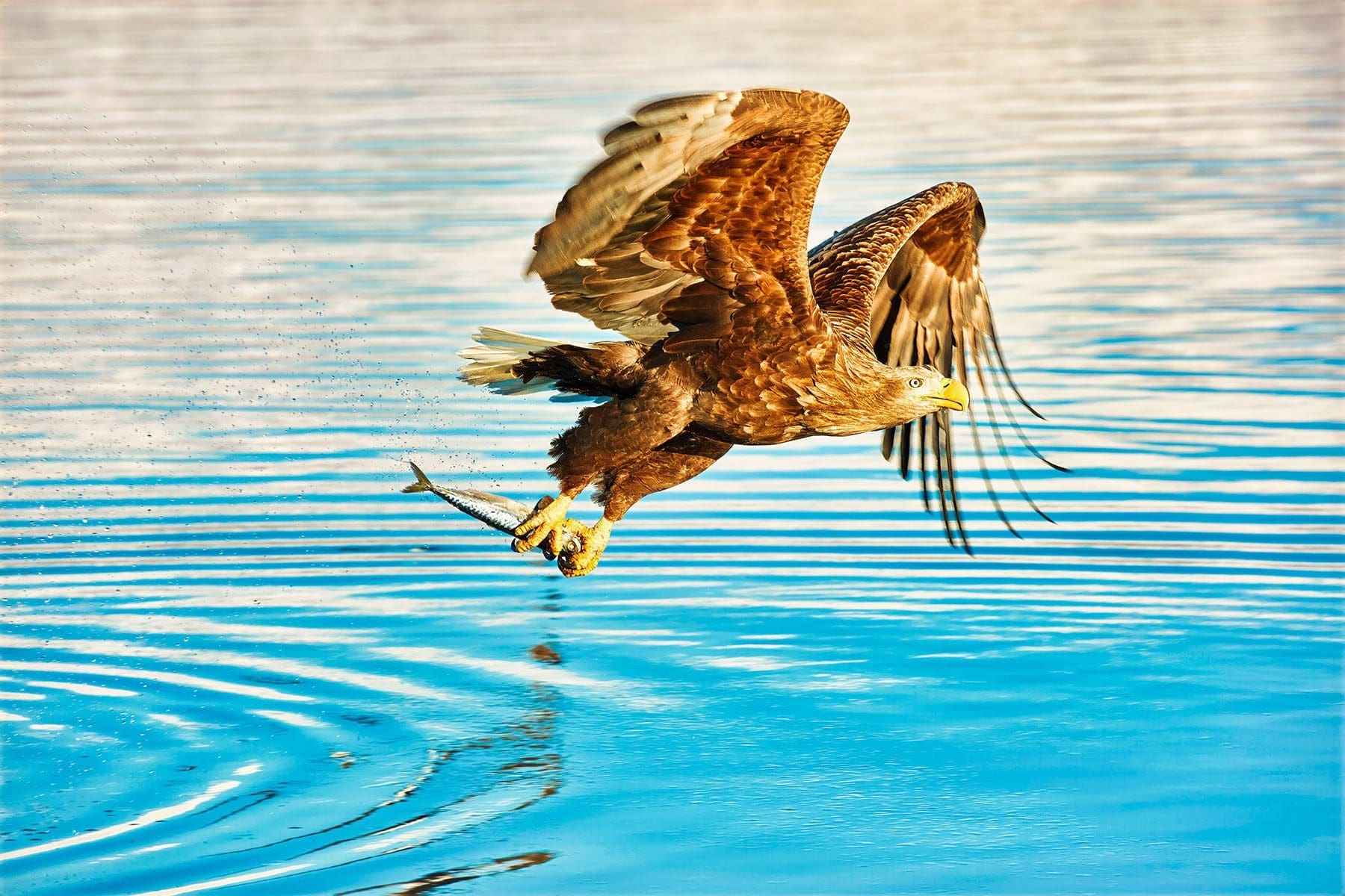
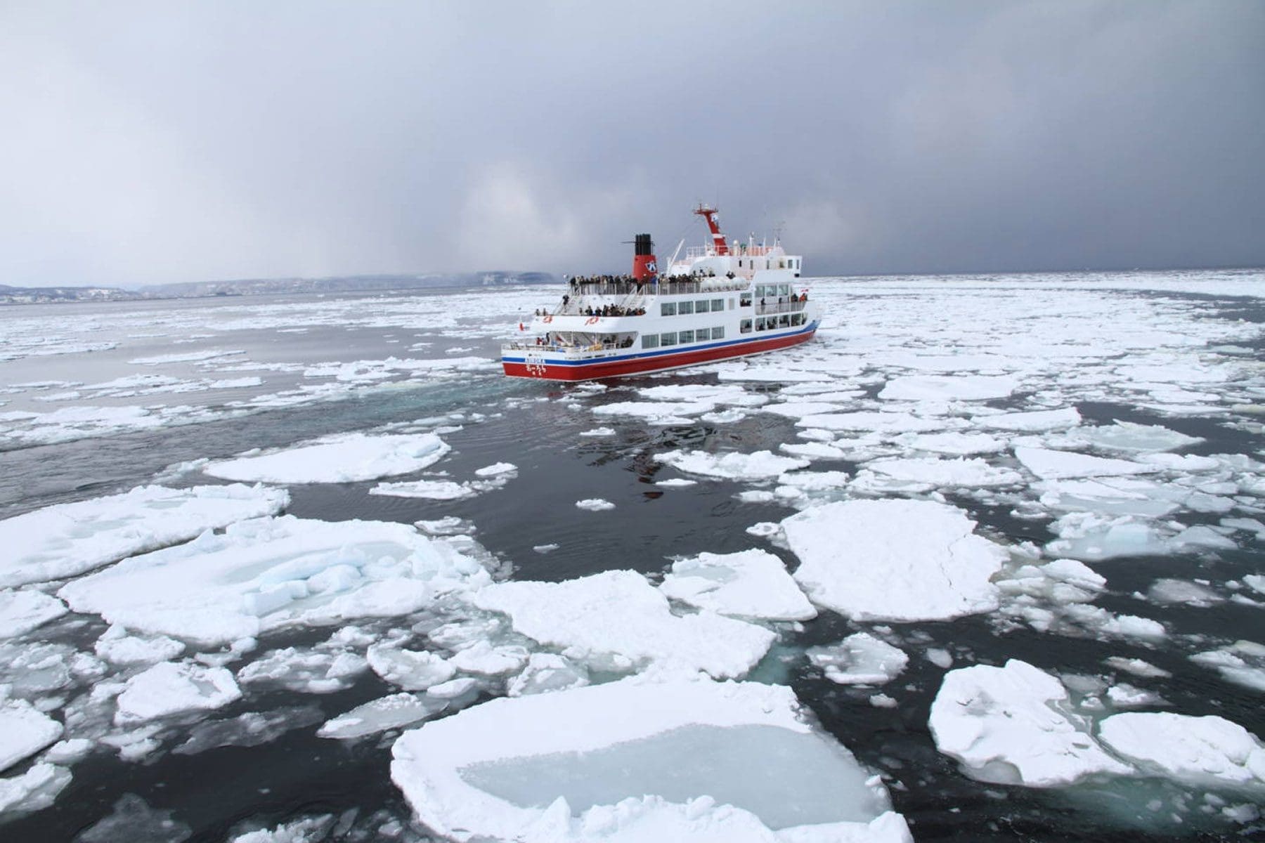
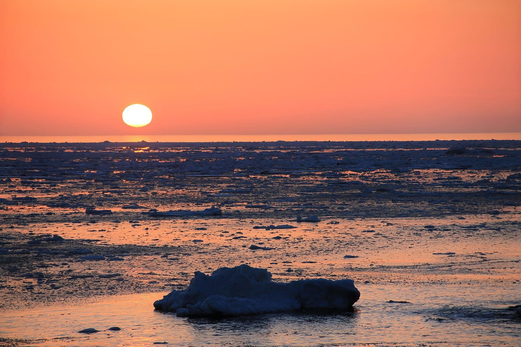
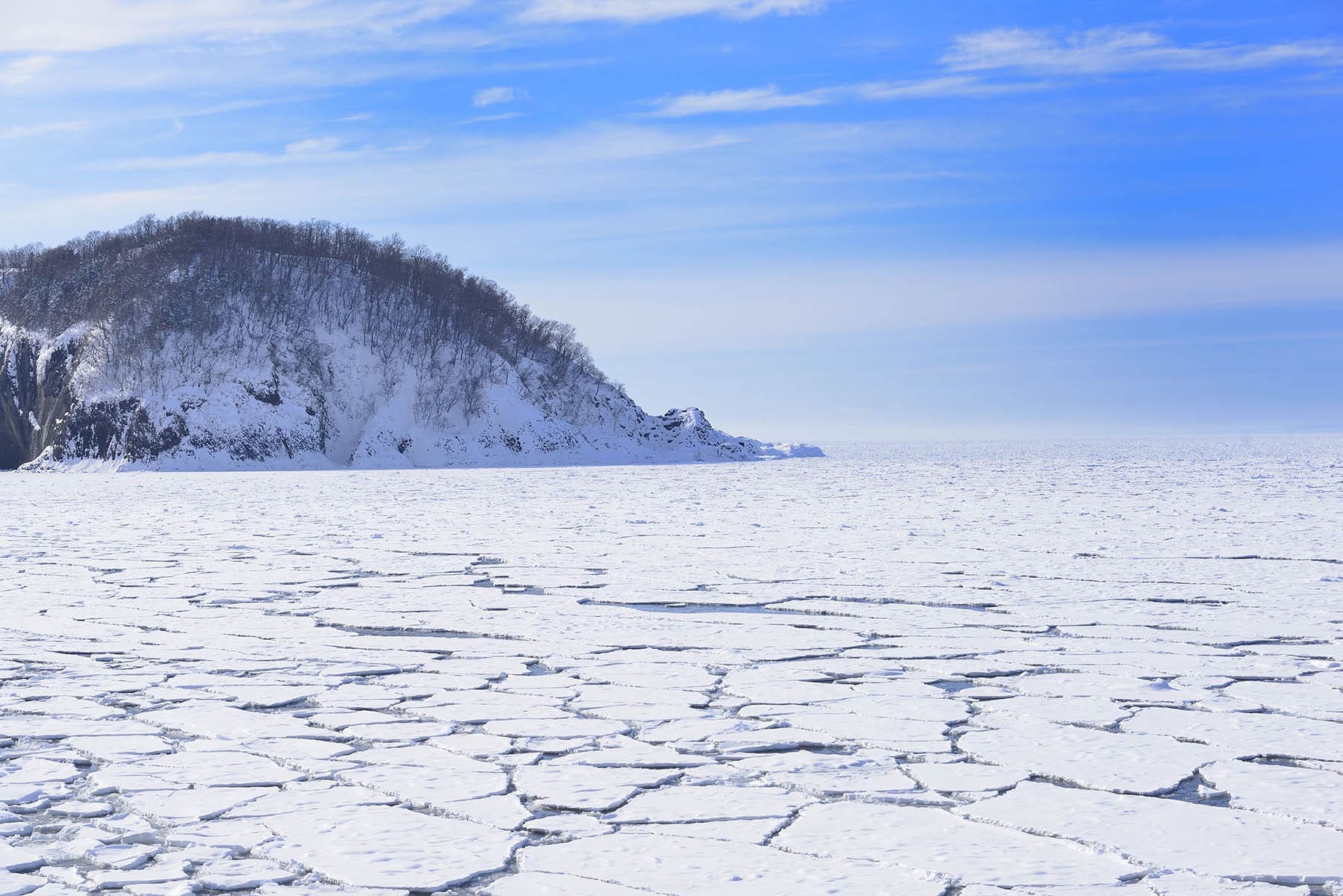
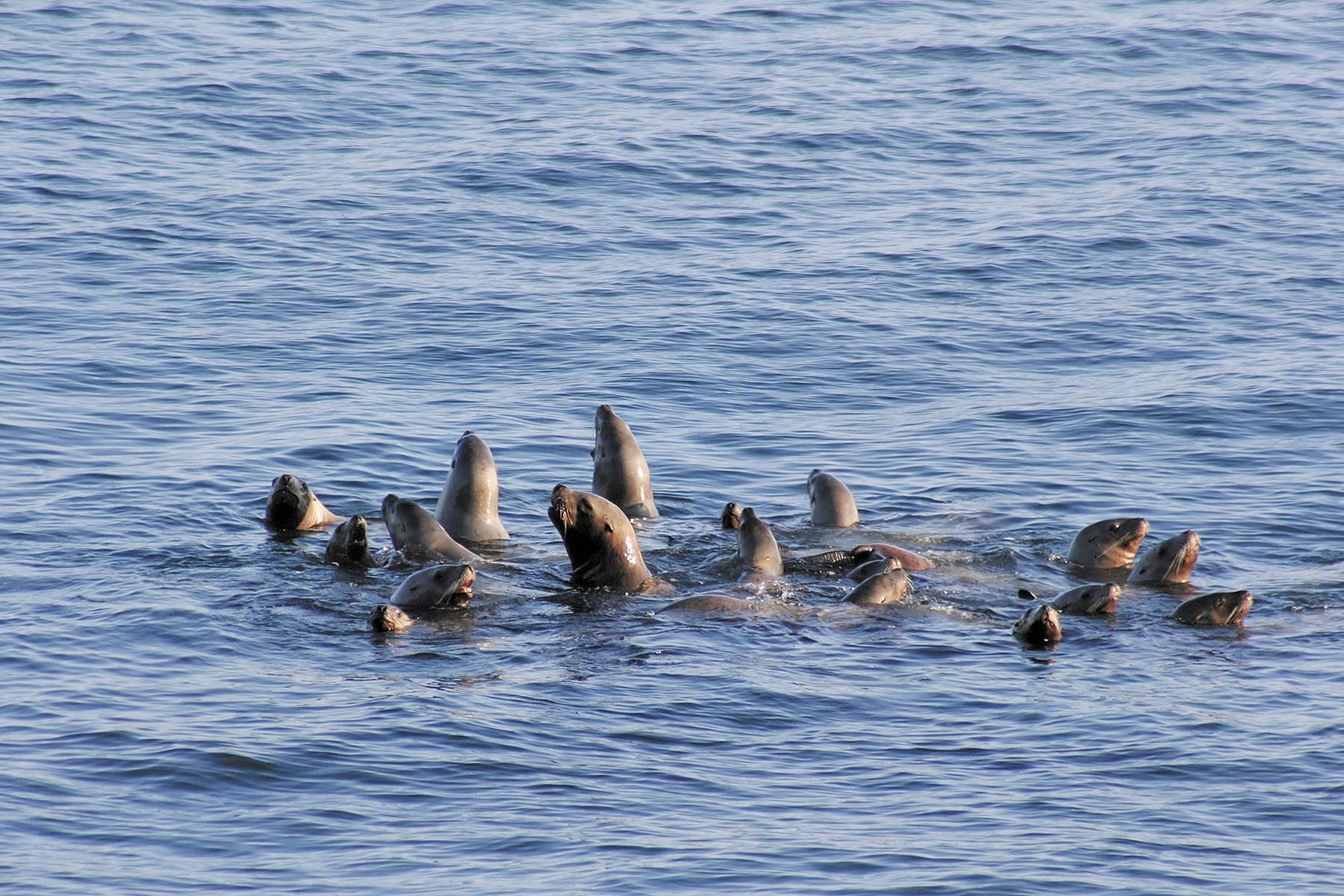
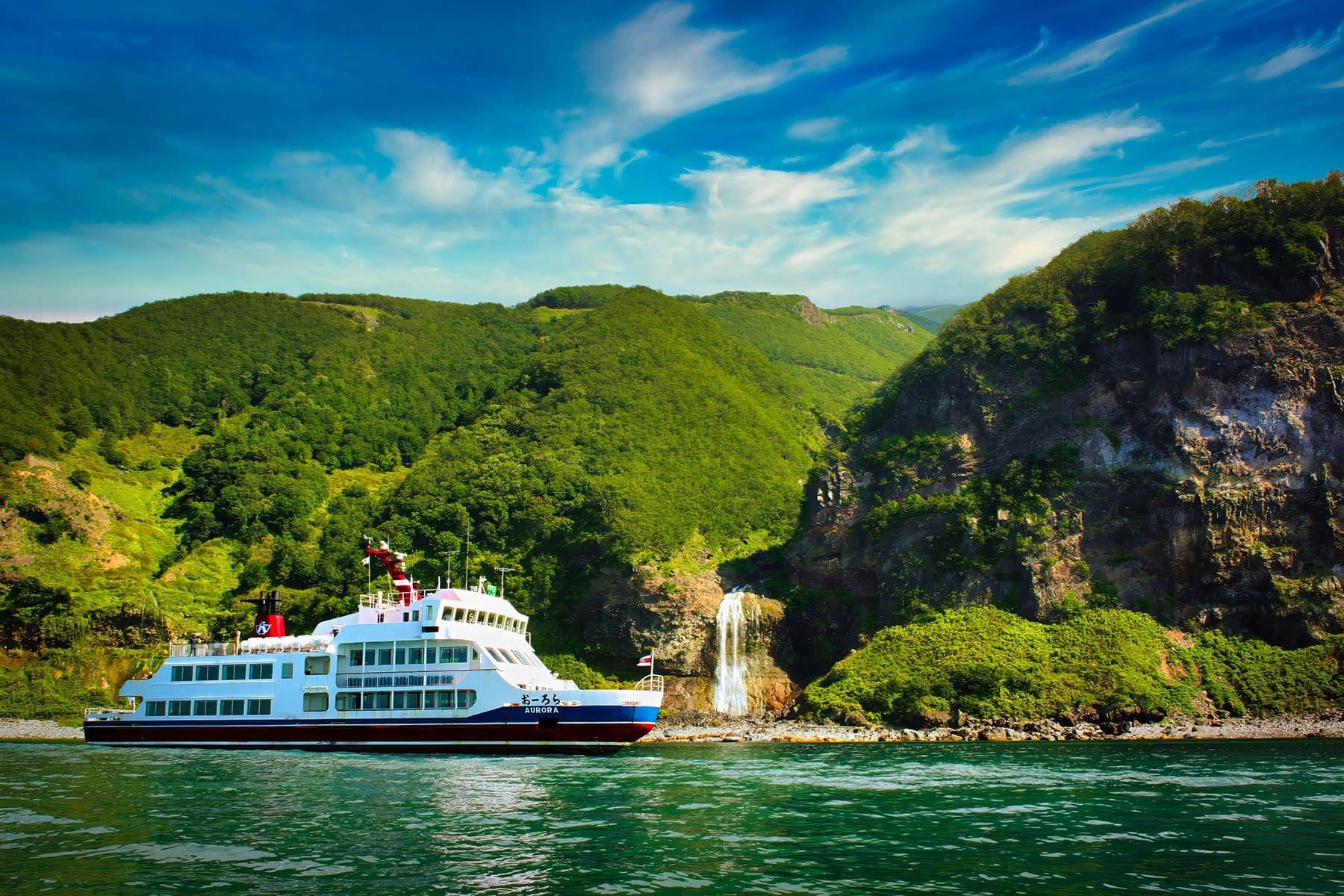
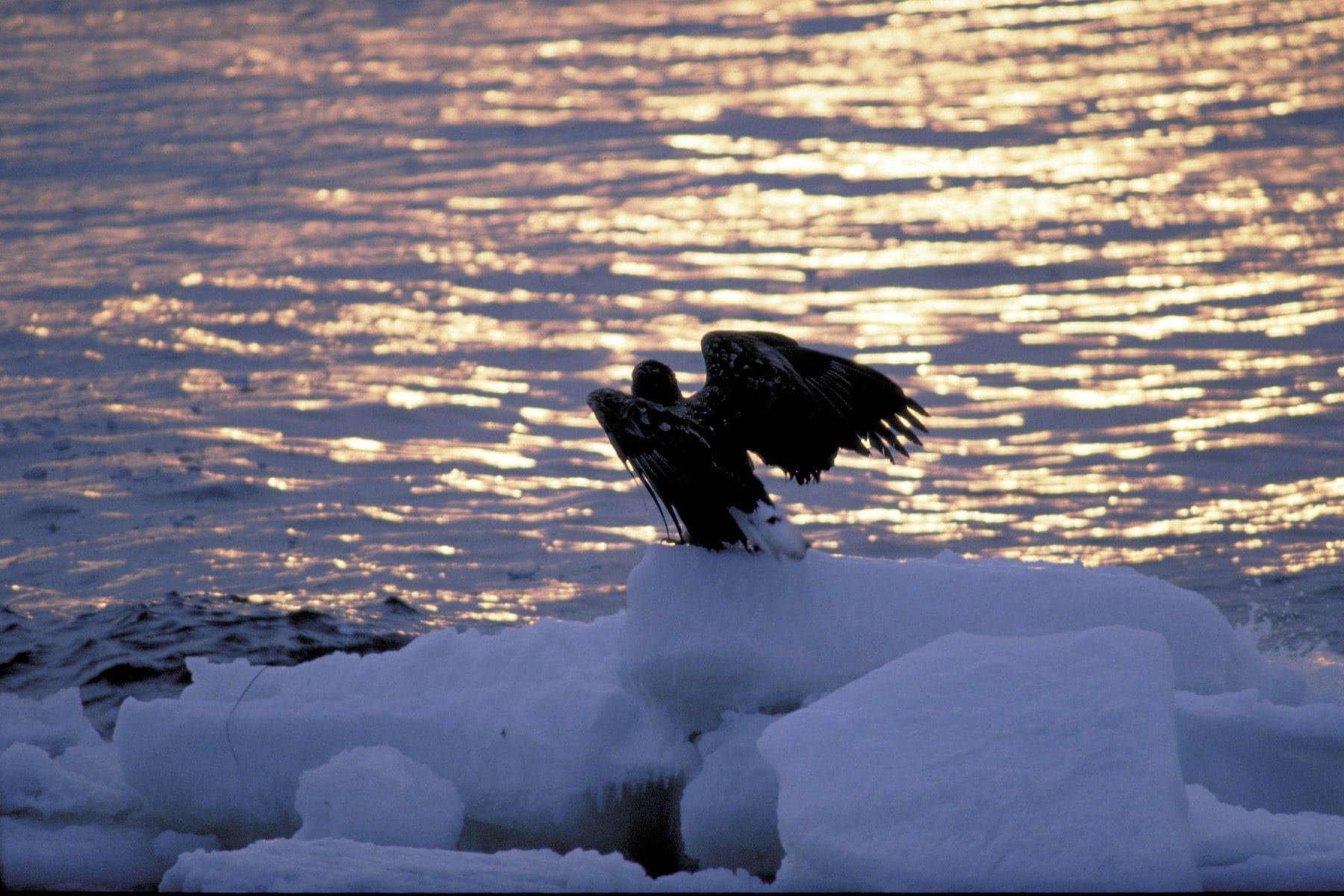
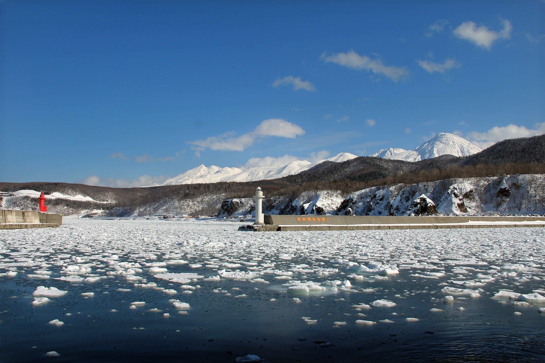
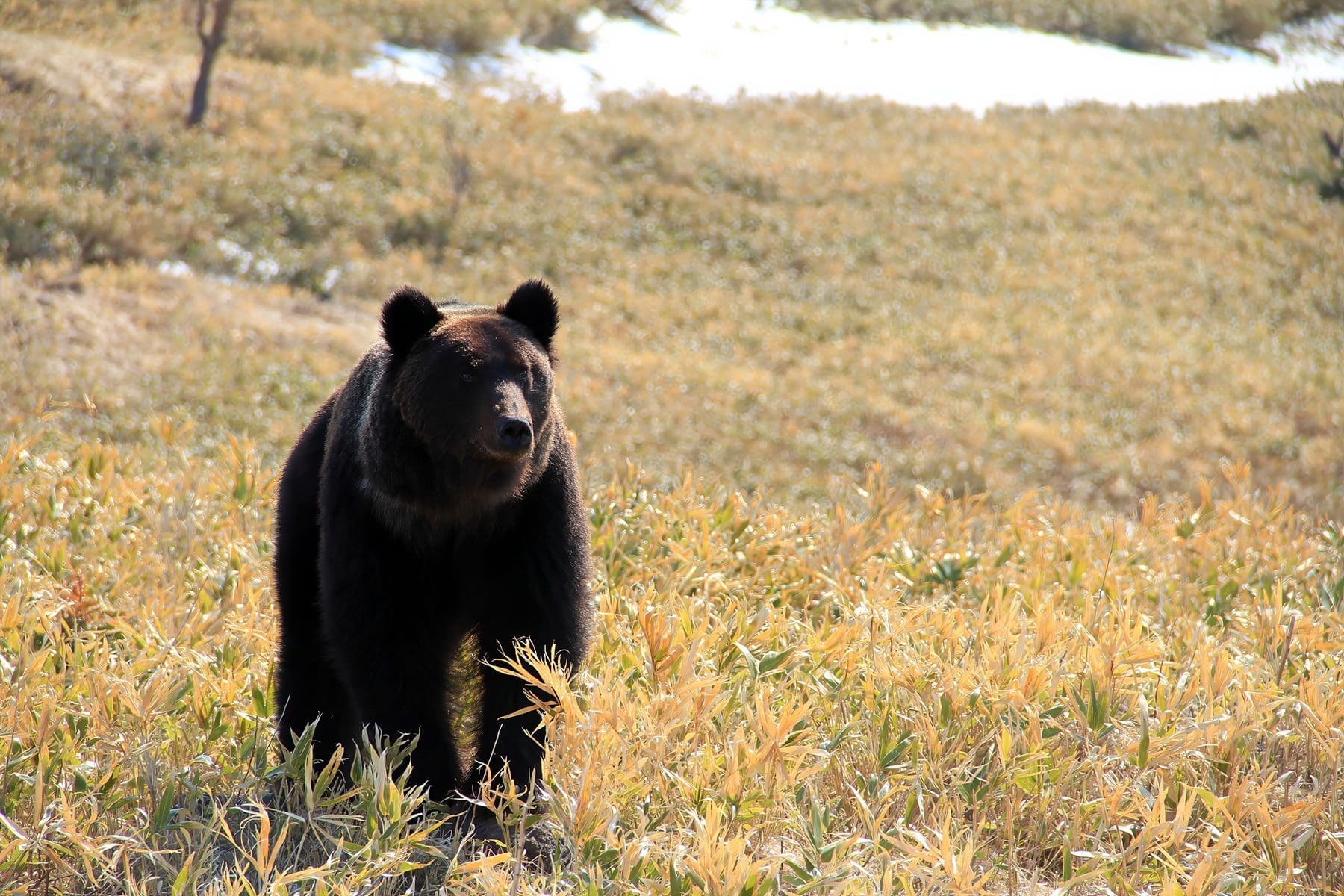
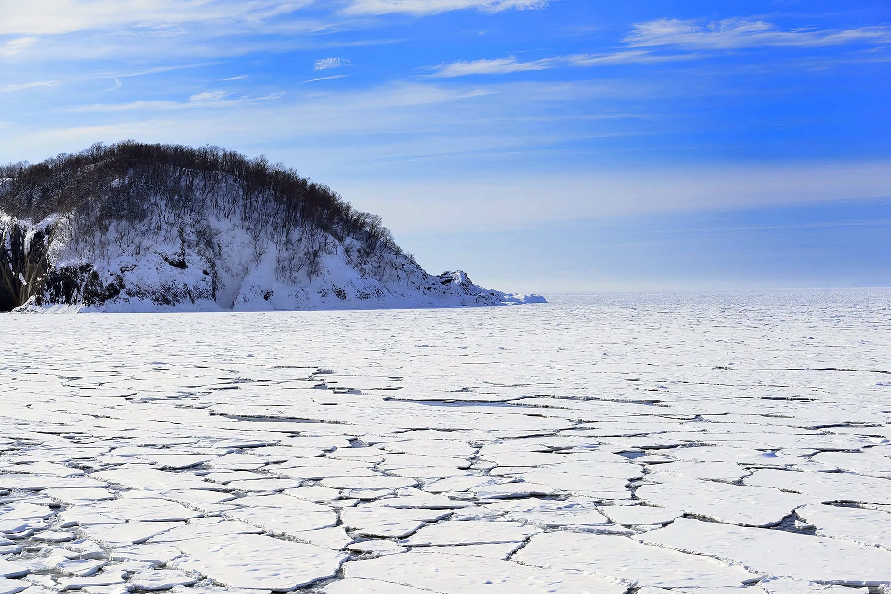
The Shiretoko Peninsula has been designated a World Heritage site since July 2005 as it has a very unique ecological landscape, rich in biodiversity. Take a sightseeing boat along the wild western coast of Shiretoko to see many of the sights usually inaccessible to tourists, such as waterfalls, cliffs, and wildlife. Marvel at brown bears climbing the rocks along the shore with their cubs. Shiretoko has a dense population of brown bears as a result of an abundance of salmon runs in the area. At sea, try to spot some of the dolphins, sea lions, orcas, and sperm whales that inhabit the coastal waters. As the sea around Shiretoko is the southernmost point in the northern hemisphere to see drift ice, set out on a drift ice cruise during the winter to see these pristine chunks of ice cover the horizon as they float down from Russia.
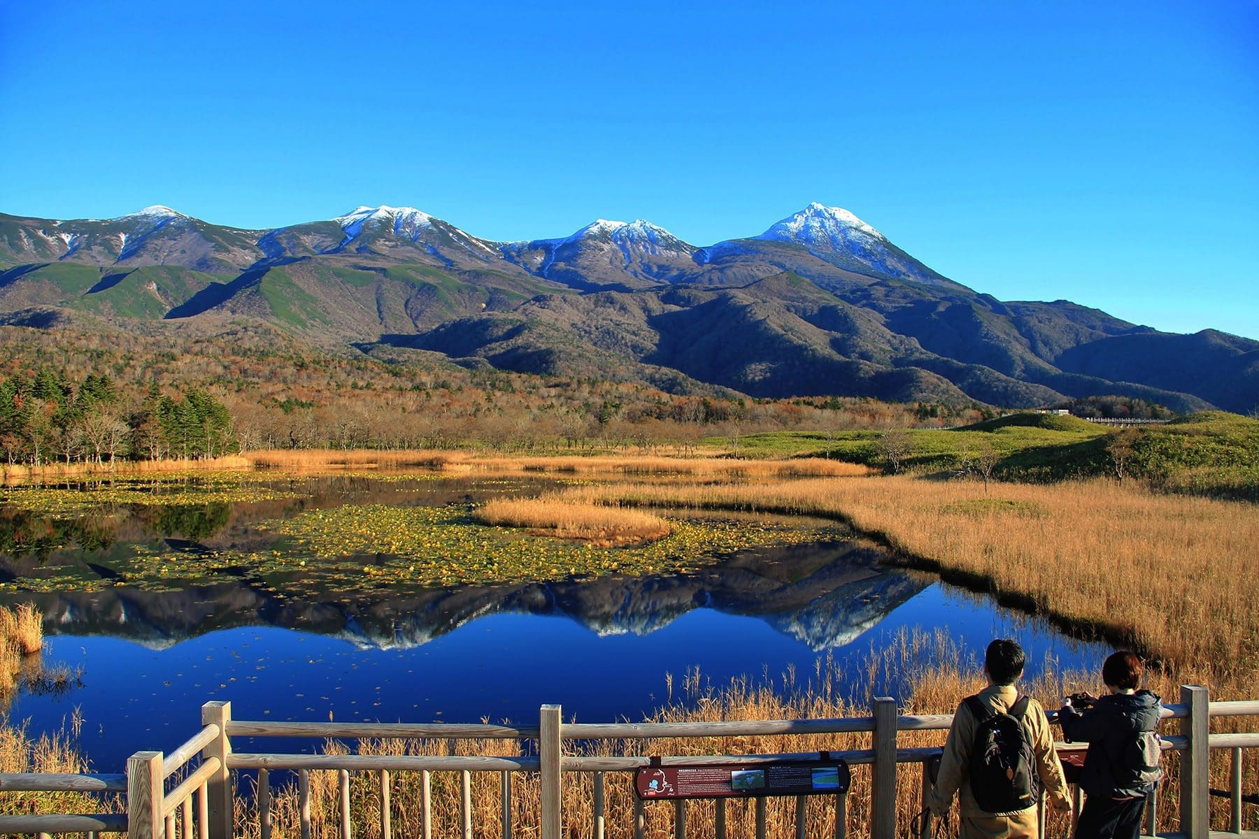
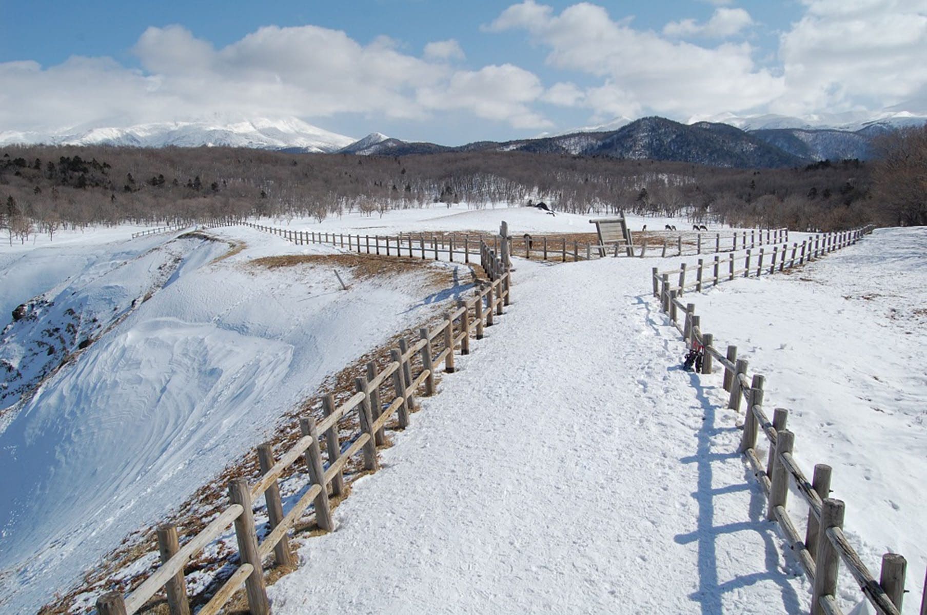
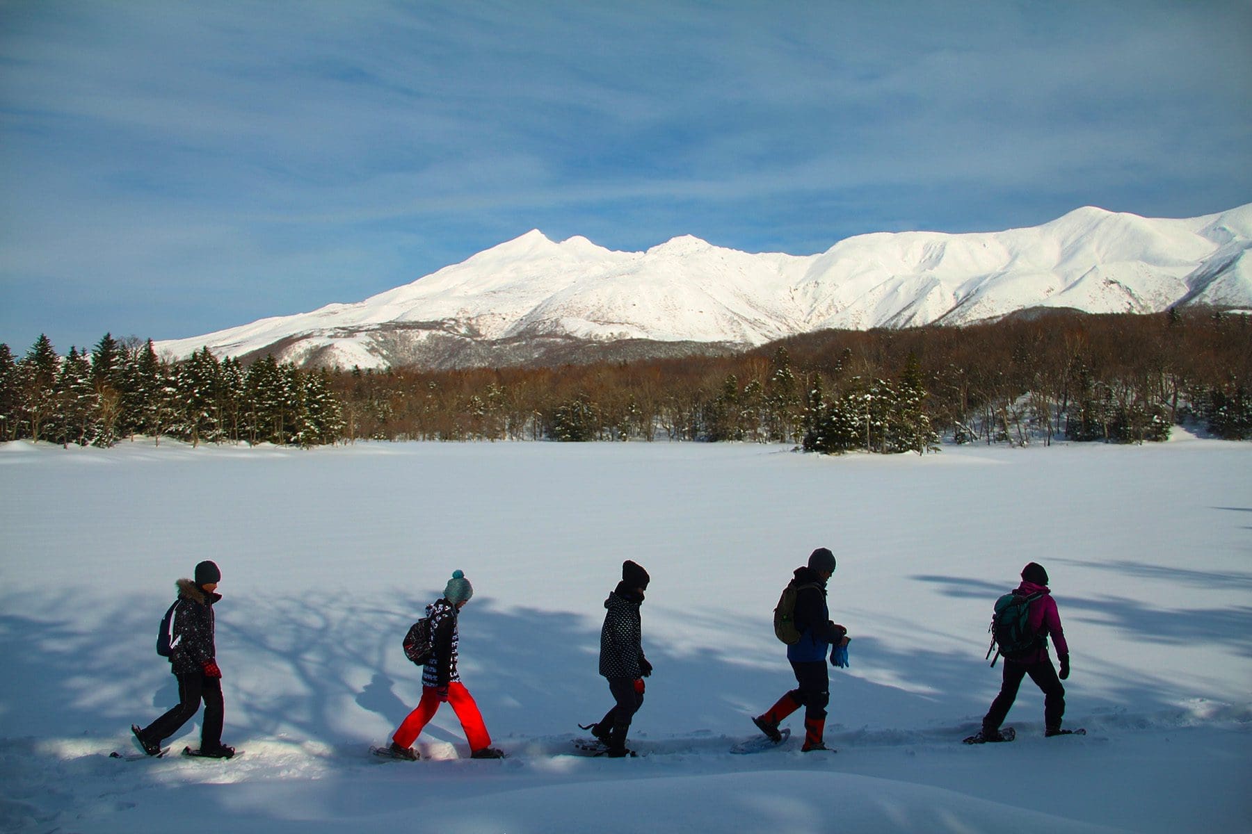
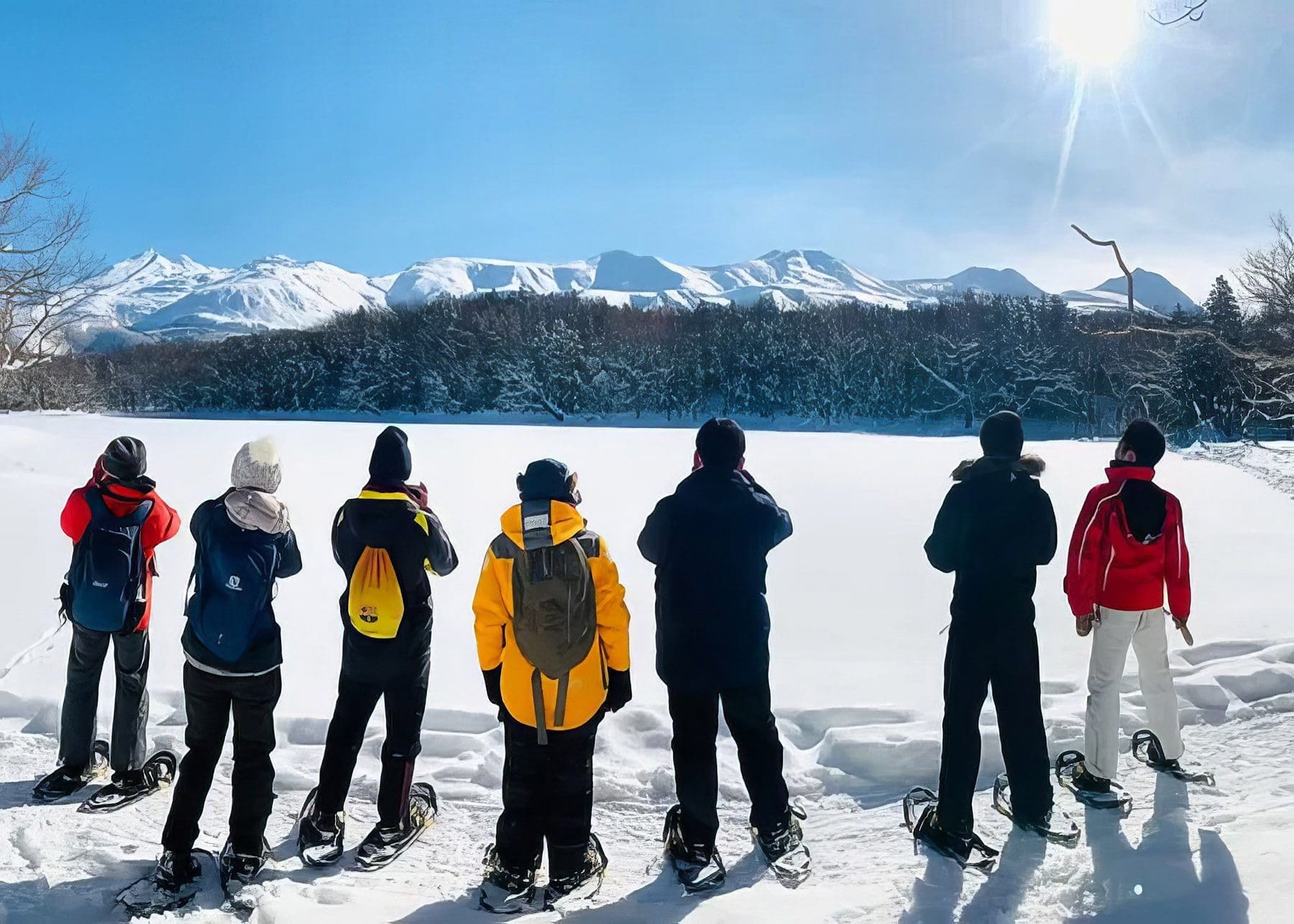
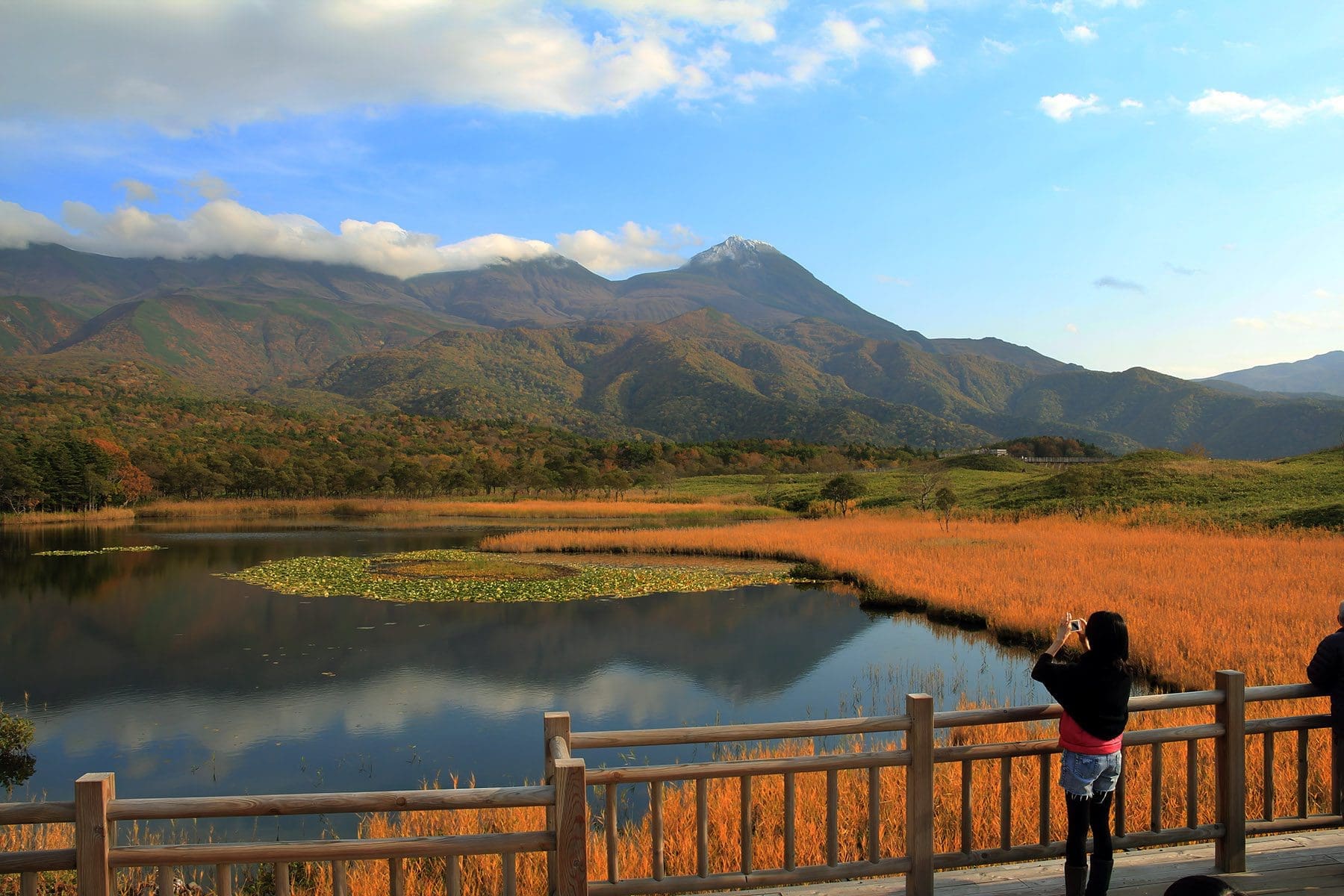
Back on land, explore the Shiretoko Goko, or Shiretoko Five Lakes, which were created from the volcanic activity of nearby Mount Io, and look like the imprint of five fingers, as though a god pressed his hand down into the earth. The Five Lakes have a long, 800-meter elevated boardwalk that stretches from the car park to the first lake, Lake Ichiko, facilitating tours while keeping minimal contact between humans and nature. Spot the many sika deer and red squirrels which live around the lakes. During bear season, it is mandatory to travel through the Five Lakes with a guide, though self-guided hikes are permitted when the bears are less active.
Visit Oshinkoshin Falls, considered one of the most beautiful waterfalls in Japan, and a sacred part of indigenous Ainu culture. The waterfall splits in two as it falls, earning it the name ‘twin beauty falls.’ See a rare hot waterfall at Kammuiwakka Falls, as the waterfall is fed by water from the nearby onsen.
For a truly special onsen experience, stop by the town of Utoro, the main town on the western peninsula. Utoro has many hot springs, and as a result, there is a wonderful resort there with many onsen ryokan for guests to enjoy. The local food in Utoro is exceptional, as the location in northeastern Hokkaido provides Utoro with the freshest of seafood. On the eastern coast of Shiretoko, find the fishing town of Rausu, which is famous for its excellent seaweed which is distributed all around Japan. Rausu is also renowned for exceptional sea urchins, which fishermen have collected for generations each winter and spring, using glass-bottomed boxes and a landing net.